Creating a guide map for the Govardhan Yatra involves detailing the key locations, landmarks, and routes for pilgrims undertaking this sacred journey. Below is a comprehensive guide map that outlines the important sites and the general route for the Govardhan Parikrama.
Govardhan Yatra Guide Map
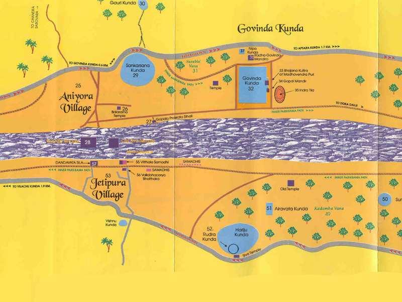
1. Starting Point: Manasi-Ganga Kund
- Location: Near Govardhan Temple, Govardhan, Mathura, Uttar Pradesh
- Significance: Traditional starting point of the Govardhan Parikrama.
- Activities: Pilgrims start their circumambulation (parikrama) here.
2. Key Landmarks on the Parikrama Route
1.Radha Kund
- Distance from Manasi-Ganga Kund: Approximately 7 km
- Location: Radha Kund Village
- Significance: Sacred water tank associated with Radha, the beloved consort of Lord Krishna.
2.Shyama Kund
- Distance from Manasi-Ganga Kund: About 2 km
- Location: Near Radha Kund
- Significance: Important water tank associated with Shyama, another form of Radha.
3.Daan Ghati Mandir
- Distance from Manasi-Ganga Kund: Approximately 3 km
- Location: Along the parikrama route
- Significance: Temple associated with Krishna’s acts of charity.
4.Mukharvind
- Distance from Manasi-Ganga Kund: About 2 km
- Location: Along the parikrama route
- Significance: A significant site dedicated to Lord Krishna.
5.Kusuma Sarovar
- Distance from Manasi-Ganga Kund: Approximately 4 km
- Location: Along the parikrama route
- Significance: Sacred pond with spiritual significance.
6.Rinamochana
- Distance from Manasi-Ganga Kund: About 2 km
- Location: Along the parikrama route
- Significance: Holy site linked to Krishna’s divine activities.
7.Puchari
- Distance from Manasi-Ganga Kund: Approximately 3 km
- Location: Along the parikrama route
- Significance: Final significant site before returning.
3. Return to Manasi-Ganga Kund